3D LASER SCANNING IN SOMALILAND
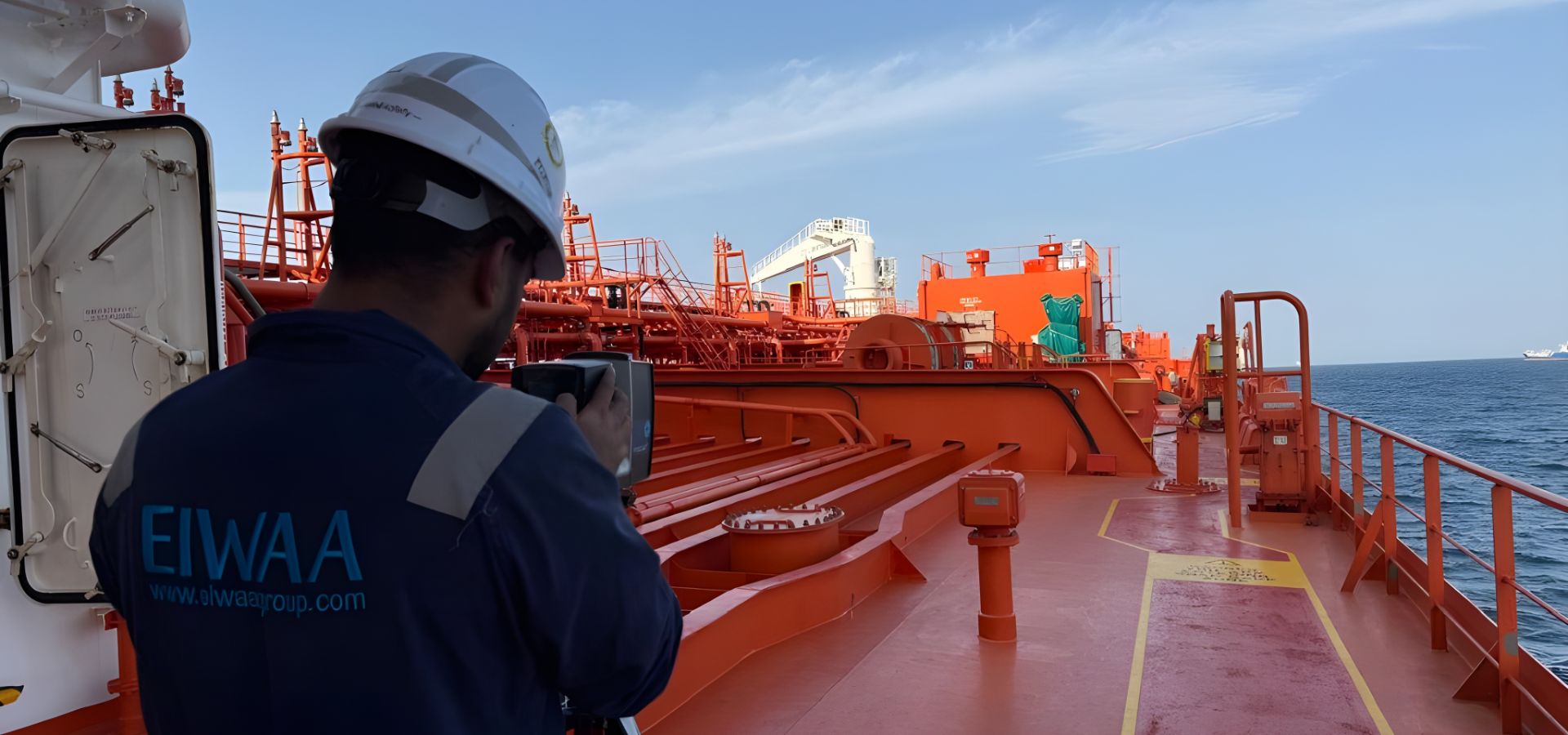
Are you looking for retrofit engineering and reverse engineering solutions in ships, vessels, ports, and offshore platforms? Our 3D laser scanning and point cloud survey in naval ships and vessels is used for engineering drawings, as-built drawings, 3D models, and digital records of existing structures. Our 3D laser scanning and 3D laser dimensional measurements are used for retrofitting and maintenance planning of ships, vessels, cargo cranes, port cranes, piping, pipelines, jetties, marine structures, quays, and berths. We are your nearest 3D scanning partner for capturing detailed spatial information on engine rooms, pump rooms, cargo spaces, deck areas, machinery spaces, piping systems, structural members, accommodation areas, crane foundations, hull, and superstructure areas. 3D field scan data of point clouds are used for ship repair, retrofit, dimensional inspection, and as-built documentation in ships and vessels. We provide ship tank calibration, barge tank calibration, Ship sounding and ullage survey for ship and vessels by 3D laser Scanning and modeling.
We provide port infrastructure 3D scanning solutions for engineering, maintenance, and development projects, including quay wall surveys, berth and jetty documentation, container yards, warehouses, and port buildings. Our Scan to CAD conversion makes it possible to make engineering-ready CAD drawings and 3D models for crane rails and structures, roads and accessible areas, pipe racks, marine structures, and existing condition surveys. As-built survey deliverables are registered point clouds, 3D mesh models, 2D CAD drawings, equipment layouts, sections and elevations, piping models, structural models, as-built drawings, and digital twin models.
3D Laser Scanning
in Somaliland
As-built Survey
in Somaliland
Ship Tank Calibration
in Somaliland
Marine 3D Modeling
in Somaliland
Ship Sounding Survey
in Somaliland
Ship 3D Scanning
in Somaliland
Reverse Engineering
in Somaliland
Marine Digital Twin
in Somaliland
SHIP TANK CALIBRATION IN SOMALILAND
Ship tank calibration is an associated marine onboard calibration for fresh oil and diesel tank calibration on ships and cargo tank calibration for liquid-carrying vessels. Port authorities and ship owners required tank calibration after modification, repair, or structural alteration by providing 3D laser scanning and LiDAR surveys. We provide ship tank sounding, ullage measurement, and calibration tables for ships, barges, and offshore rigs for marine fuel management. Our professional ship tank calibration and tank capacity measurement support vessels, bunker operations, shipowners, operators, and marine terminals.