3D LASER SCANNING
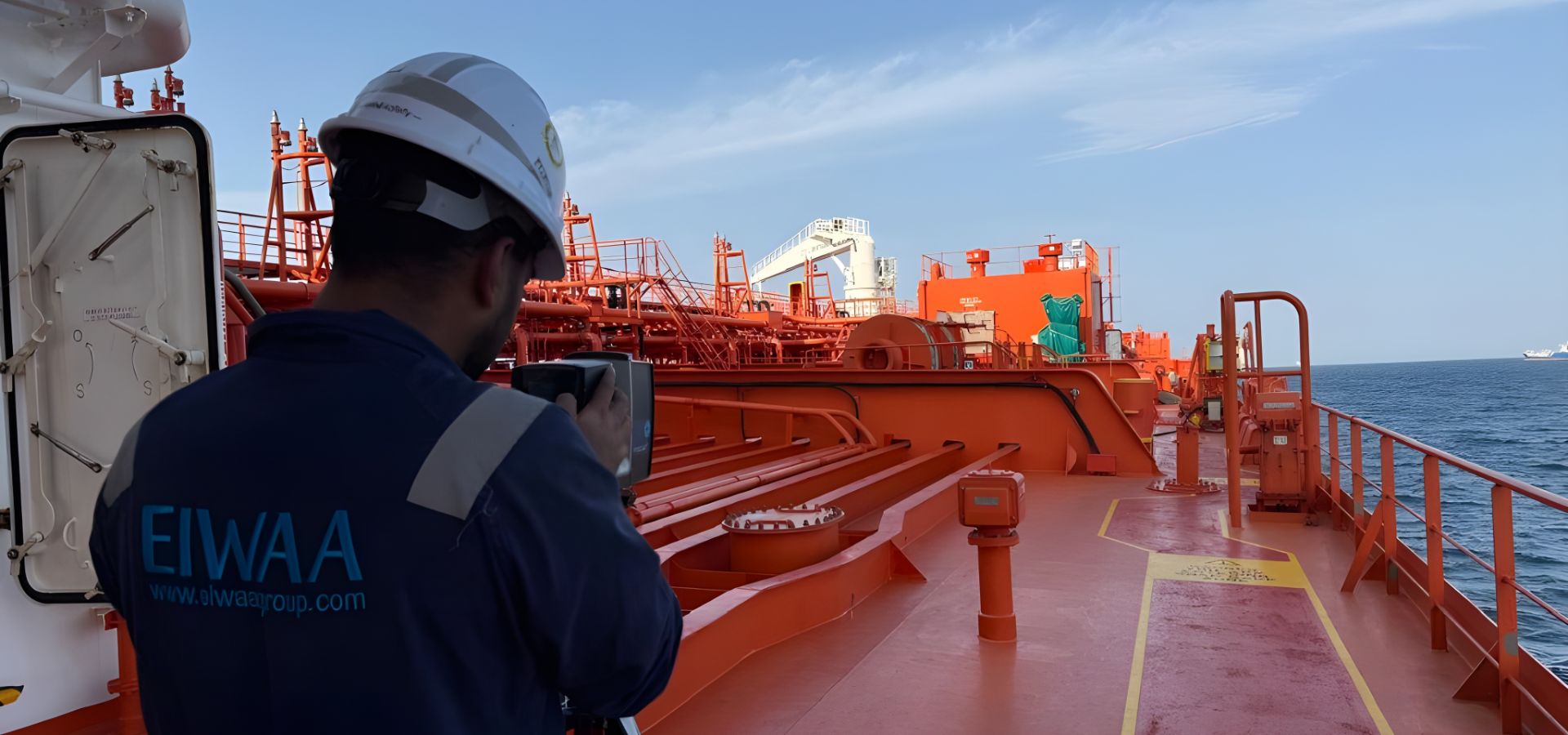
If you are looking for a 3D laser scanning service company for LiDAR scanning and terrestrial laser scanning for ships, vessels, offshore platforms, ports, and rigs, EIWAA is the quality service provider on the African continent. 3D laser scanning and modeling services in areas like marine, industrial, oil and gas, mining, oilfield, and power plants help owners and operators obtain detailed 3D scanning and LiDAR scanning data for major repairs, changes, installations, and starting up new systems. We provide reverse engineering and retrofit engineering in ships, vessels, offshore rigs, and FPSOs for hull geometry, engine rooms, cargo holds, decks, and piping rerouting and modeling. We differentiate ourselves from other 3D laser scanning companies by conducting accurate point cloud surveys, 3D modeling, and reality capture solutions through high-definition 3D laser scanning, LiDAR scanning, terrestrial laser scanning, and precise laser measurements.
3D Laser Scanning
Reality Capture Solutions
Terrestrial Laser Scanning
Point Cloud Survey
LiDAR Scanning
Scan to BIM
Ship Sounding Survey
Laser Measurement
LiDAR SCANNING
We are providing high-precision LiDAR scanning services on offshore platforms, petroleum refineries, storage tank terminals, power plants, processing plants, agricultural farms, mines, and commercial buildings for high-quality LiDAR laser measurements. Our LiDAR scanning services help with as-built drawings, as-built BIM modeling, and real-time as-built conditions of offshore platforms, jackets, floating platforms, and offshore rigs. We deliver accurate point cloud survey, processing, and registration by digital 3D laser scanning, LiDAR scanning, and reality capture services.